Imperial Russia >
Soviet Orders and Medals >
Soviet Badges >
Soviet Militaria >
Soviet Paper, Propaganda, Art >
Communist Countries >
Reference Books >
All Categories
Login
Register
View Cart
Search
Terms
How to Order
Sell To Us
About Us
Join Our Mailing List
Contact Us
Soviet Military Maps
*CLICK ON THUMBNAIL OR ITEM NAME TO VIEW FULL DESCRIPTION AND PHOTOS
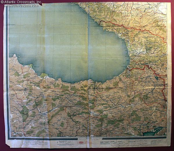
Classified NKVD map of the Eastern Black Sea including the city of Batumi; dated 1931, the region looked much the same during 1942-1943 when the Red Army was locked in heavy fighting with the Wehrmacht. 30 1/8" x 26".
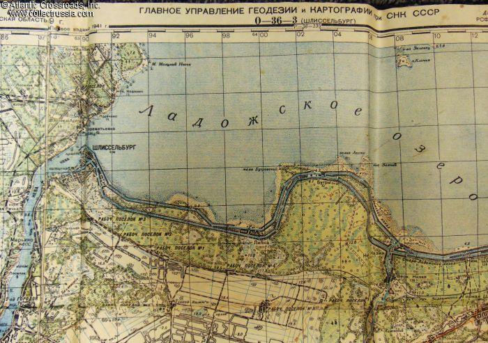
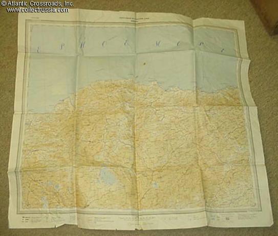
Very Large 45" x 60" Red Army General Staff map of Leningrad Region. Marked "SECRET", very rare early WW2 map, based on 1938 aerial photos & printed in July 1941, just 2 months before the Siege of Leningrad. Good condition.
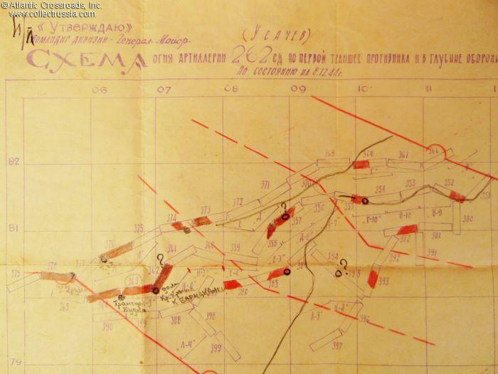
Regimental Artillery Fire Map, Marked "SECRET", Extremely Rare WW2 map of the 262nd Rifle Div., 3rd Belorussian Front, East Prussian border, Dec. 1944. Printed on the back of a WW2 German topographic map. EXC condition.

Large 32x31" Red Army General Staff map of southern Ukraine area including Uman &
Pervomaysk, 1942. Very rare early edition, VG condition.
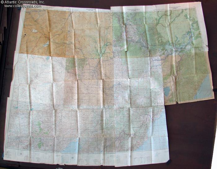
Map showing large area of Ukraine including Smolensk, Zhitomir, Kiev, etc. Printed in 1953, based on an earlier map composed in 1947. A historically interesting document of a very important area, the location of heavy fighting not just in WW2 but for centuries beforehand.
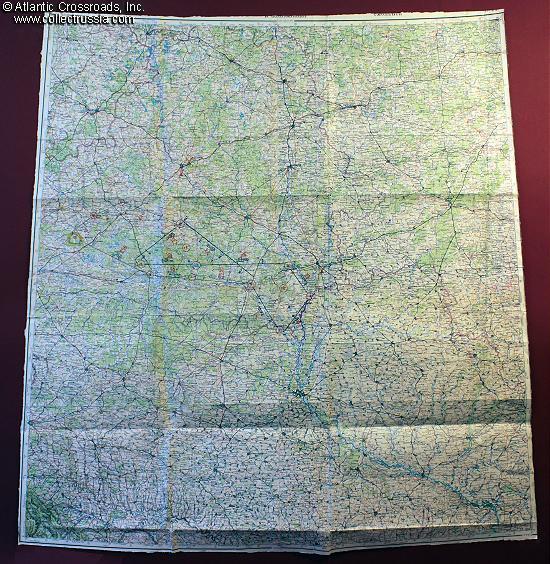
Immense Red Army General Staff Map of the Soviet Far East,
Manchuria, Northern China and North Korea. Dated 1942-45
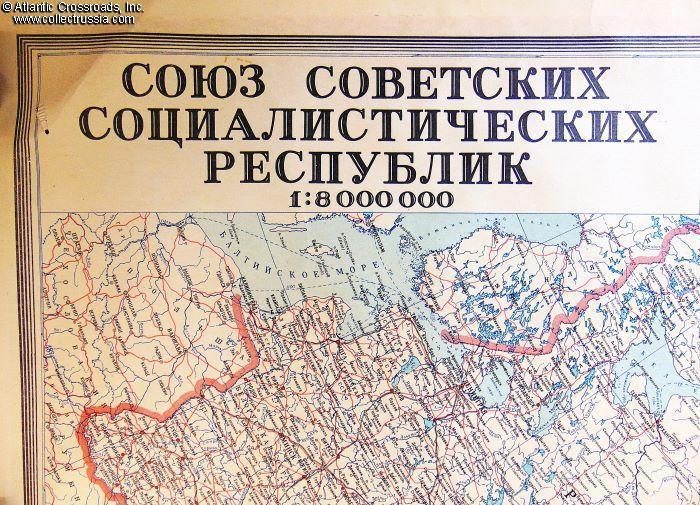
Large Map of the USSR, 43"x28", 1:8,000,000, 1981 updated issue, EXC condition. Incl. detailed legend and administrative division information. A perfect backdrop to a collection of Soviet memorabilia!

Large combination map of Southern Mediterranean, Red Army General HQ, 1945.