
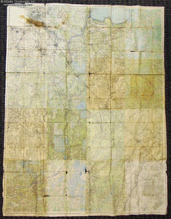
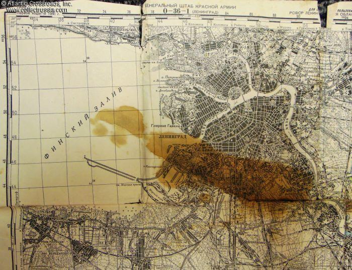
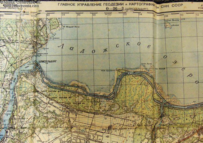
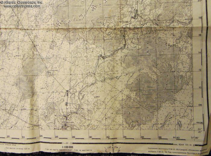
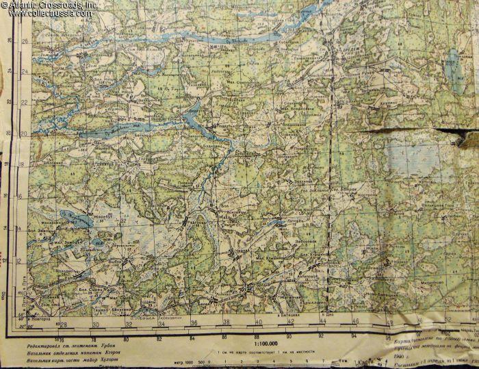
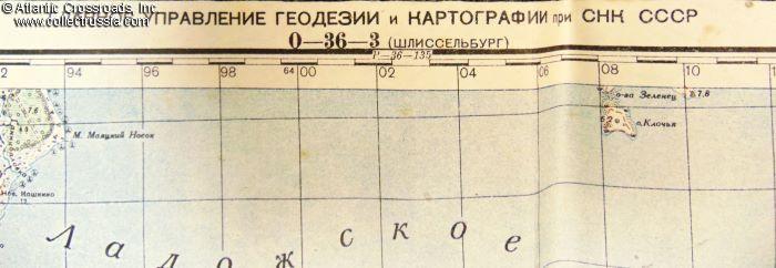
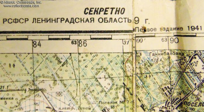
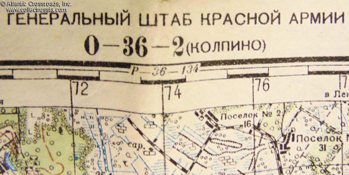
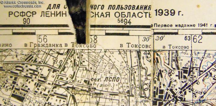
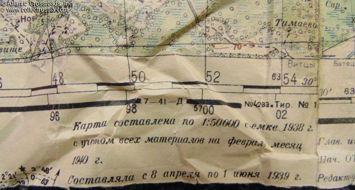
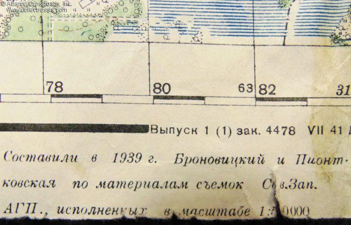
General Staff of the Red Army map of the Leningrad Region, based on 1938 aerial photos & printed in July 1941.
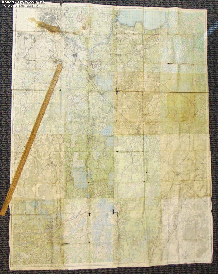
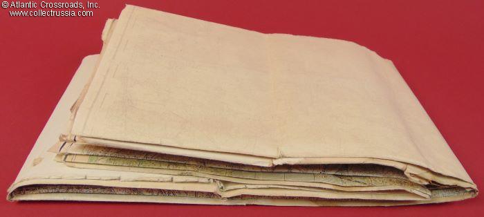
Huge size, 45" x 60", scale 1:100,000. The map is comprised of 16 individual pieces, the latest of them printed in July 1941, mere 2 months before the beginning of the Siege of Leningrad. The area covers the city of Leningrad, the city of Schlisselburg on the Ladoga Lake, and the area of the Leningrad Region to their south. An extremely interesting area for a historian or a WW2 militaria buff.
In good condition. Besides the unfortunate stain covering a part of the city of Leningrad, the map shows moderate wear to the margins and a few tears in places where the map was folded for s
Huge size, 45" x 60", scale 1:100,000. The map is comprised of 16 individual pieces, the latest of them printed in July 1941, mere 2 months before the beginning of the Siege of Leningrad. The area covers the city of Leningrad, the city of Schlisselburg on the Ladoga Lake, and the area of the Leningrad Region to their south. An extremely interesting area for a historian or a WW2 militaria buff.
In good condition. Besides the unfortunate stain covering a part of the city of Leningrad, the map shows moderate wear to the margins and a few tears in places where the map was folded for storage, not too detractive.
Please note that the yardstick in our photo is for size reference.
$375.00 Add to cart