
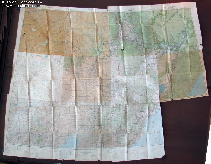
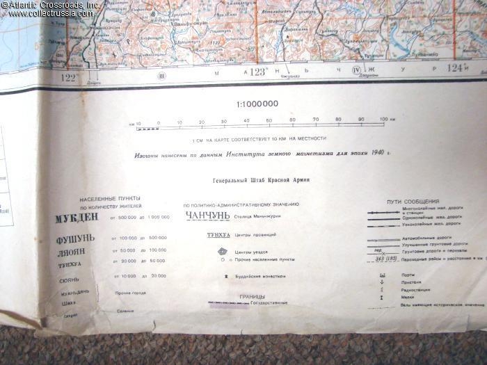
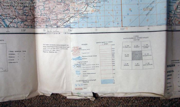
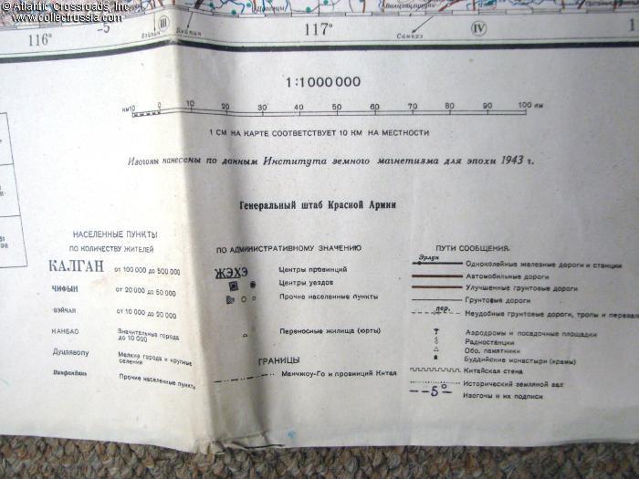
Immense Red Army General Staff Map of the Soviet Far East, Manchuria, Northern China and North Korea.
The map covers immense expanse of the Far East between 40th and 52nd parallels. On the west side, it includes Soviet territory from Shilka and Nerchinsk south to the e
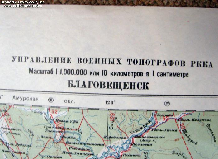
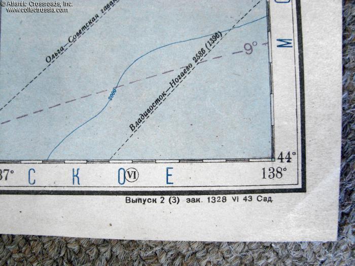
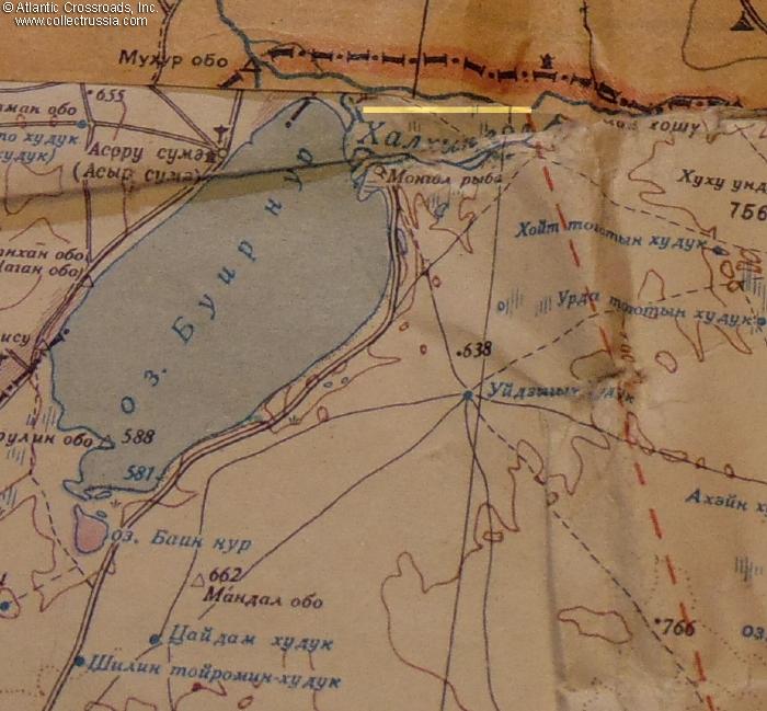
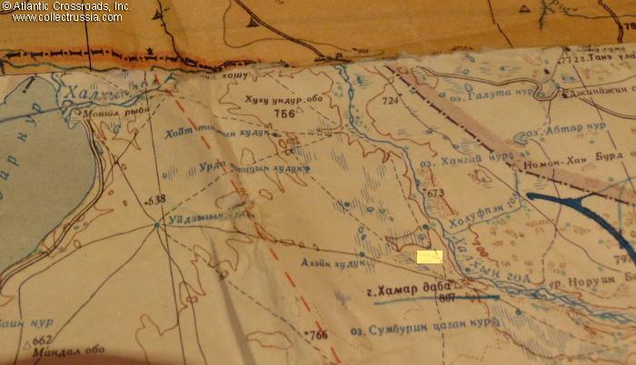
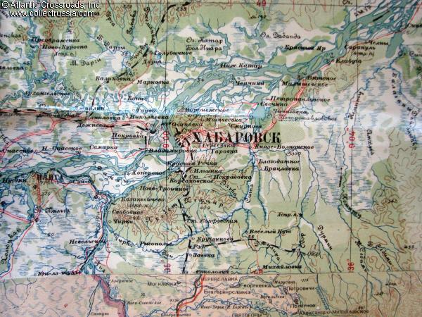
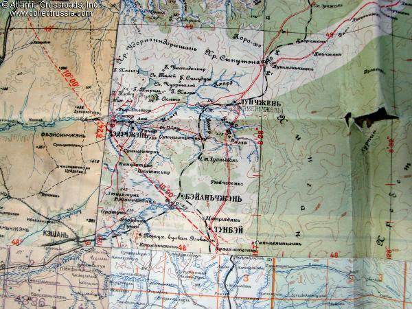
The map covers immense expanse of the Far East between 40th and 52nd parallels. On the west side, it includes Soviet territory from Shilka and Nerchinsk south to the eastern part of Mongolia, Inner Mongolia and Northern China, ending just north of Pekin (Beijin). The map extends east all the way to the Pacific Ocean, to include all of Manchuria with Mukden and Harbin, Khingan Mountain Ranges, the Amur River, the city of Khabarovsk, Soviet Maritime Region with Vladivostok, and most of North Korea.
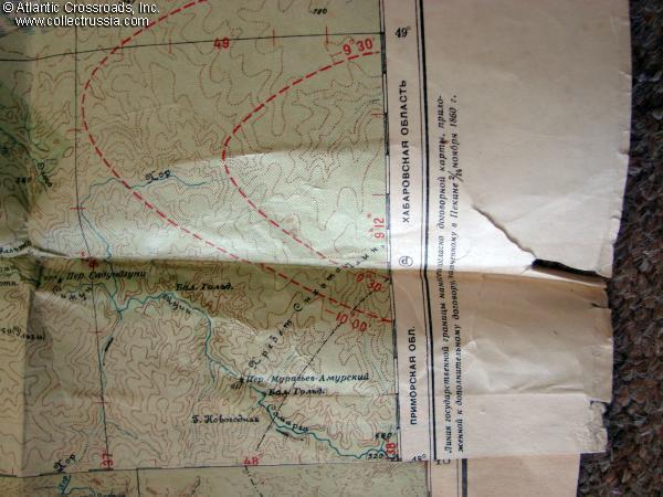
Condition is very good overall, with minor tears along the edges and separations along the folds in few spots, but without missing parts. Unusually well preserved considering its size and age.
Covers extremely interesting geopolitical area, stage of
many important XX C. conflicts including the Russo-Japanese
War of 1904-05, Soviet attack on Japan in August 1945, and
the Korean War, to name a few. Back in late 1941 and
throughout 1942, this border area of the USSR was deemed
safe enough to withdraw the Red Army troops guarding it to
the critical sectors of the German front. This map is truly
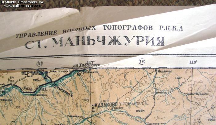
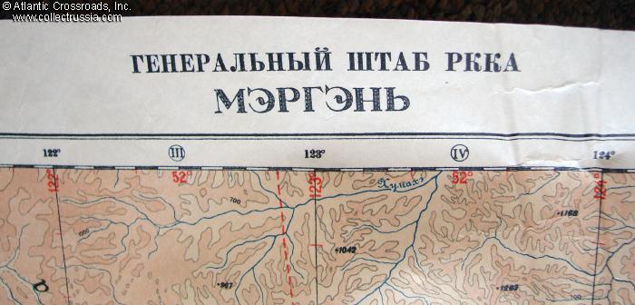
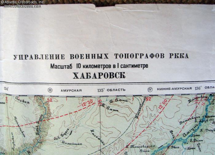
a treasure-trove for the historian, as it shows early names
of the cities and in some areas, like in Japanese-occupied
Korea, two alternative names of the same place.
$280.00 Add to cart