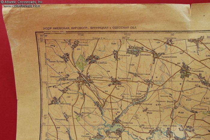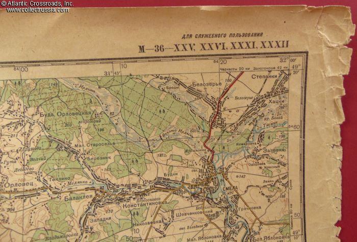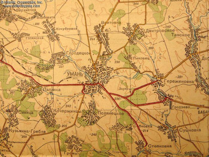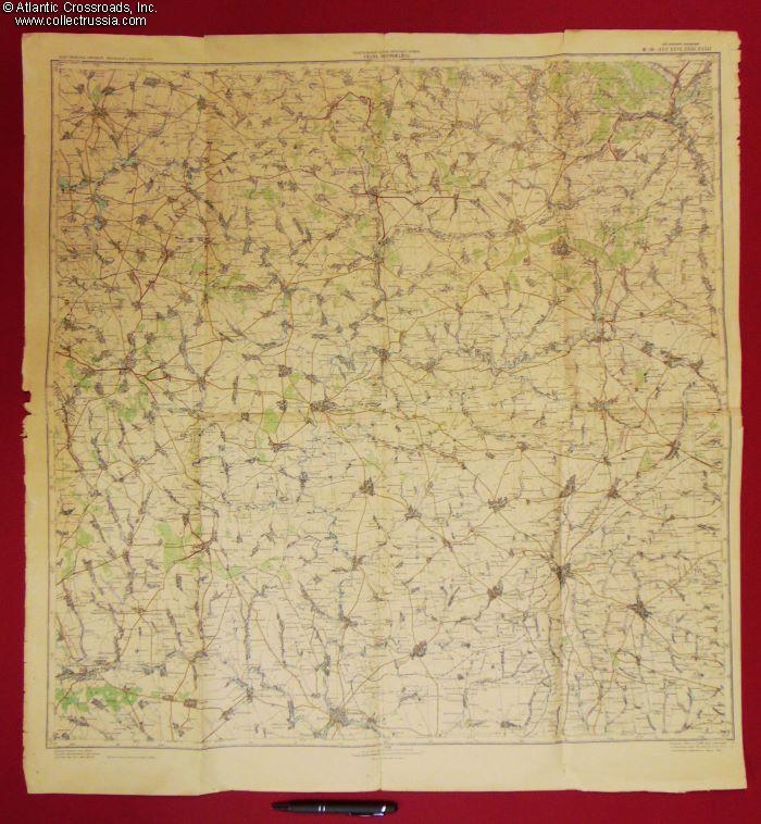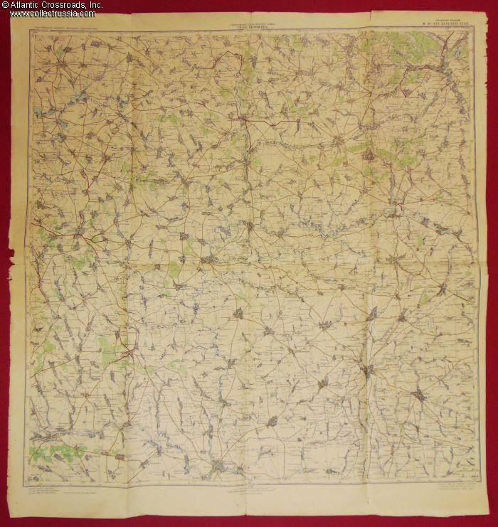
Red Army General Staff topographic map of an area of southern Ukraine including Uman & Pervomaysk, 1942.
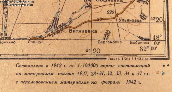
Large format, single page measuring 32 ½" x 31". Marked "for administrative use" in the upper right-hand corner. As stated in the legend at the bottom right-hand corner, the map was compiled in 1942 based on a map which used aerial photography made in 1927 through 1934, 1937, and some materials current as of February 1942.
In very good condition. The paper has turned somewhat brittle and can separate easily along the fold lines. Beginnings of such separations can be seen at the edges. We would recommend handling it with care and only on a large flat surface. Areas of frayed
Large format, single page measuring 32 ½" x 31". Marked "for administrative use" in the upper right-hand corner. As stated in the legend at the bottom right-hand corner, the map was compiled in 1942 based on a map which used aerial photography made in 1927 through 1934, 1937, and some materials current as of February 1942.
In very good condition. The paper has turned somewhat brittle and can separate easily along the fold lines. Beginnings of such separations can be seen at the edges. We would recommend handling it with care and only on a large flat surface. Areas of frayed edges are seen at the top of the right edge, and at the center and bottom of the left edge. The wear is confined to the margins.
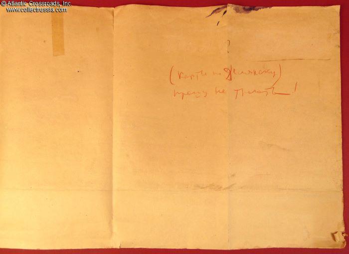
The verso is mostly clean, repaired with clear tape in one spot. The handwritten inscription in red pencil seems to be the last phrase in a dialog, the beginning of which, above, has been erased. It says "maps of [illegible name of a town, possibly "Delyansk"], please do not touch!"
Please note that the pen in our photos is for size reference. In the last-but-one photo the pen lies next to the map folded in eight.
$195.00 Add to cart


